Information boards with maps have been set up at the parking areas and approaches to the various hiking areas in the national park. They provide an overview of the hiking routes and the nature in the surrounding area. By using the established hiking trails in the national park, you also help protect the natural environment from wear and disturbances.
Here visitors will find suggestions regarding kayaking and hiking trips with maps and descriptions.
Kirkøy
Kirkøy is the last island you get to when driving from Fredrikstad to Skjærhalden. Skjærhalden is the largest community in Hvaler.
There are shops, cafés and restaurants at Skjærhalden. Kirkøy also has two information centers where people can learn more about the national park and the natural environments surrounding the islands.
Asmaløy
Asmaløy is a great place to visit if you are interested in discovering Hvaler’s local flora and fauna. Along the gently winding trails, visitors can spot an impressive variety of birds, butterflies, plants and insects.
Vesterøy
The 6-kilometer coastal trail on the island of Vesterøy follows the sea from Papperhavn to Kuvauen, continues on to Guttormsvauen and ends in Utgård, on the southeastern side of the island. You can walk along the whole trail, or take shorter trips from Kuvauen and Guttormsvauen.
Island hopping
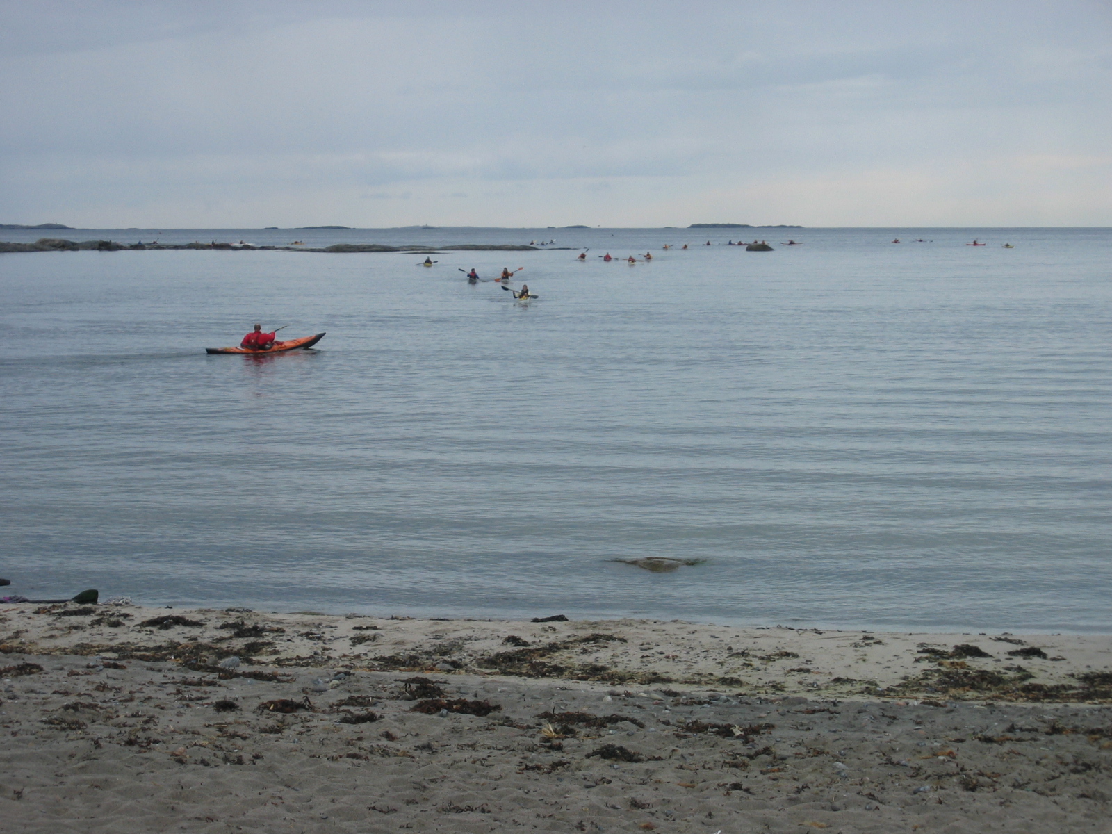
The Hvaler archipelago consists of more than 800 islands, islets and skerries. Some of the islands can only be reached by kayak or boat, while others are perfect for island hopping with the local ferry company Hollungen.
